Donate to the Trust

River Findhorn

Findhorn, Nairn and Lossie Rivers Trust

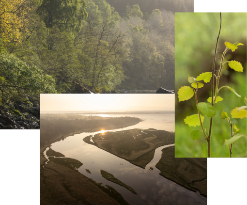
The River Findhorn (Scottish Gaelic: Uisge Fionn Èireann) is one of the longest rivers in Scotland. Located in the north east, it flows into the Moray Firth on the north coast. It has one of the largest non-firth estuaries in Scotland.

The river is c.100 kilometres (62 miles) long and the catchment area is 1,300 square kilometres (500 sq miles).

The river provides excellent salmon and trout fishing and is popular with anglers from around the globe. It is also one of Scotland’s classic white water kayaking rivers (varying from grade 2 to 4) and draws canoeists from across the country.

Upper river

Upper river

Source to Tomatin

Open hill and moorland with large areas of peat draining to the tributary burns and main stem of the river all of which tend to be quite steep and rocky with a lot of gravel. The principal land use is deer stalking and grouse shooting with some minor agricultural activity and plantation forestry.

Middle river

Middle river

Tomatin to Sluie

Increasingly steep sided valley leading into the gorge proper, the upper part draining from open heather hill and having a lot of unstable gravel banks, the lower part draining through a stable rocky gorge. The land use in the upper part is principally grouse moor with increasing amounts of commercial forestry. Forestry and agriculture are the predominant uses in the lower parts.

Lower river

Lower river

Sluie to Findhorn Bay

Principally agricultural land with some commercial forestry

We use third-party cookies to personalise content and analyse site traffic.

Learn more